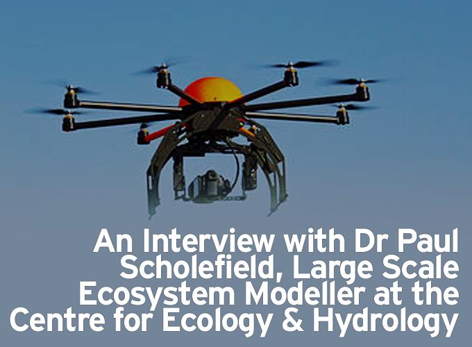
An Interview with Dr Paul Scholefield, Large Scale Ecosystem Modeller at the Centre for Ecology & Hydrology
Megan Roden & Jemima Khalli for | SkyTech 2015
As the commercial UAV sector continues to develop the use of UAVs within environmental research is becoming increasingly prominent. With UAVs suited to everything from photography to data collection and their ability to incorporate LiDAR, high-resolution cameras and a range of sensors, it is no surprise that UAVs are becoming a must for environmental study. UAVs are also facilitating environmental research which has previously been very difficult to achieve. The high resolution imagery produced by UAVs, in particular, has proved incredibly useful for identifying landscape features in finer detail. Post processed images produced by UAVs are also enabling researchers to map out vegetation across landscapes that have ordinarily been difficult to survey.
In the face of this advancing industry SkyTech 2015 sat down with Dr Paul Scholefield, a Large Scale Ecosystem Modeller at the Centre for Ecology & Hydrology. Dr Scholefield’s research focusses upon the preparation, handling and statistical analysis of temporal and spatial data, in order to aid the provision of answers to a wide range of ecological questions. Through the course of such research, Dr Scholefield has discovered the great benefit that UAVs can bring as a tool for environmental study. Using a Quest UAV300 he has completed a GB scale map of hedgerows, which benefitted from high quality aerial imagery and 3D models to ascertain hedgerow quality and species composition, and recently surveyed three national nature reserves, all of which benefitted from the use of UAV km scale mapping.
Can you tell us a little more about your research using UAVs?
‘We’ve been using a fixed wing UAV for about 2 years now, and have been developing the platform for surveying 1 sq km areas for habitat surveying and biodiversity monitoring. We are using infra-red and visible light sensors in our cameras which are well suited for habitat classification. We are interested in plant growth processes and hydrology as well, so the generation of high resolution digital terrain models is of importance also, as is obtaining plant height and canopy surface information’.
UAVs have had a remarkable impact upon a range of different industries, creating possibilities that have previously been unachievable. What would you consider to be the main advantage of using UAVs for environmental research?
‘Speed of deployment. If you can send up an aerial imaging platform and obtain data on the day of your site visit, then you can say without any uncertainty what was on the ground on the day of your site visit. Normally we would have to wait for good clear conditions for an aircraft to spot a window of opportunity to perform a fly over, which would have to be booked weeks in advance. Now we can look at the conditions, and be at the site within hours of making a fly decision. There are no problems with access, and so seeing over hedgerows to observe land use becomes a minor issue. If you are asked to find poachers for example, bush meat burning in Africa, then scouting for smoke plumes with an UAV would be an excellent way to spot the poachers. They are also useful for capturing data from remote loggers, where access is an issue. Poachers and polluters often go to extensive lengths to disguise what they are doing, so getting the overview, with the right sensor could be the best way to catch them. It is important not to let the technology carry you away, sometimes feet on the ground are the only way, but a coordinated approach with UAVs is invaluable’.
As the use of UAVs for conservation and the study of wildlife has become more prevalent concerns have been raised that the noise produced by UAVs can disturb and even scare animals. Do you believe this to be a substantial issue?
‘I think noise could be an issue for some species. However it is more likely the shape and size of the unit that puts most animals to flight. Curlews for example will mistake our fixed wing for a raptor. It is important to minimise disturbance, perhaps by flying at the 400 ft limit, and keeping clear of the animals of concern. I’ve not seen sheep or cattle be disturbed by our system, but it is always worth checking that any disturbance wouldn’t lead to an accident. For example we can use a bat detector to detect bats over hedgerows, and there is no interference within the sonar region of the sound spectrum, as bats simply don’t hear the UAV. It is also advisable for researchers to check with Natural England or the landowner prior to flying to ensure that a movement of cattle wouldn’t be a safety issue for workers on the land’.
Certain platforms have the ability to follow locally linear infrastructure without GPS, which could provide efficient and accurate monitoring of poorly marked crops. Can you explain a little more about this?
‘Linear data, for example from ordnance survey products, can be converted to a point file, or a series of GPS waypoints. On-board the UAV the autopilot can then use these features to guide the flight. Although the features might not be visible on the ground, there are datasets that mark field boundaries. Through our work for the UK government, and for policy research, we have developed a wide range of datasets which could support this kind of approach, for example Landcover Map’.
Cost has been identified by many as a key reason for not utilizing UAVs within environmental research. Do you see UAVs as a cost-effective way of collecting rich data?
‘I think they will be cost effective so long as we can manage the data that comes from them. We used a Canon 6D, and collected 1400 images during a survey of a nature reserve last summer. These images, combined into a mosaic meant for a very large geodatabase. So it is important to factor in the time taken to analyse these data, to store it, and to produce your report. It’s not always necessary to use the camera sensor at its highest resolution, however we are interested in this highly detailed and rich data. Think about what you want to achieve, carefully optimise the overlap between images, and the number of frames per flight you aim to collect. It is easy to overkill on the data collection, and then find you don’t have the data capacity, the manpower or the time simply to process the data’.
Do you see a future where farmers, ecologists and environmentalists can manage their crops for a long time and still remain within their budget?
‘I think we are already at the stage where a relatively inexpensive unit can be used to fly successfully for many flights in succession over a long period. The technologies employed are always improving, and components are getting cheaper. Auto landing units also extend the lifetime, as does practice. I think it is wise to get a number of hours of flight experience with a low cost unit before taking your pro-system out. Crashes are still common, even with the stabilisation and autopilots. It may be more efficient to lease units, or to hire a pilot for a day given the risks, especially if your free time to practice and perform maintenance is limited. It is important to check on the battery cycling and charging, and make sure you are not discharging them completely. Batteries are expensive, and the way you charge them can often be detrimental, and shorten their useful lifetime significantly’.
With UAV technology continually evolving, bringing with it opportunities for increasingly advanced environmental study, what are the next steps for your research?
‘Next steps for our research will be to increase the time of flight, and to get a lightweight hyperspectral camera to test and use on the UAV for our habitat classification research. We may also consider using a quad/octocopter for obtaining imagery in forested areas, or places where there are no suitable launch and landing sites for our fixed wing system. I'm also very interested in machine vision, and so the more processing and classification we can get done on the UAV the better. That will be a real challenge!’
To hear more about the use of UAVs for environmental research and a range of other applications visit SkyTech 2015 UAV Conference & Exhibition, taking place on 24th April 2015 at the Business Design Centre. For more information about SkyTech or to register for free visit the website www.skytechevent.com
The content & opinions in this article are the author’s and do not necessarily represent the views of RoboticsTomorrow
Comments (0)
This post does not have any comments. Be the first to leave a comment below.
Featured Product