and
and 
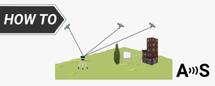
How to install a GPS/GNSS antenna for better performance
Ever wondered why your GNSS receiver’s accuracy fluctuates? Proper antenna installation is key, and even small errors can greatly impact your results. Our latest YouTube
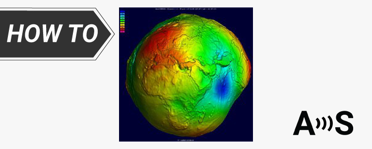
Geoid model for your country to measure orthometric height
We’ve explained the different types of heights in the tutorial Ellipsoidal, Orthometric, and Geoid heights, and what they mean for your work. When taking measurements,
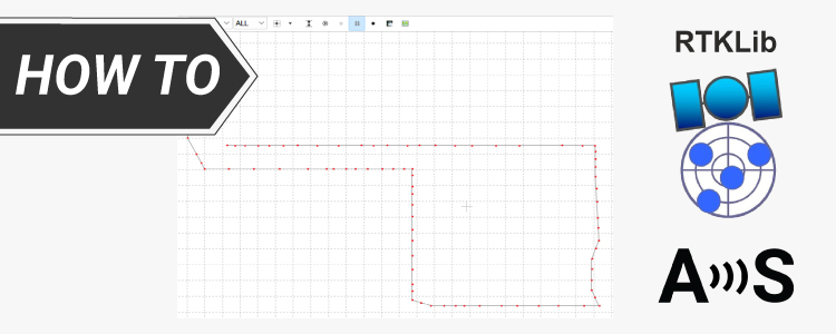
How to do Post-Processing Kinematic (PPK) with free software RTKLIB
Post-Processed Kinematic (PPK) is a positioning technique that involves post-processing of GNSS data after the data collection is completed. PPK solutions have several advantages: No
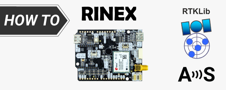
How to generate RINEX files with simpleRTK2B (ZED-F9P) for PPK
Post processed kinematic (PPK) is a GPS correction technology used in surveying that corrects the location data after it is collected and uploaded. The RINEX
How to install a GPS/GNSS antenna for better performance
Ever wondered why your GNSS receiver’s accuracy fluctuates? Proper antenna installation is key, and even small errors can greatly impact your results. Our latest YouTube
Geoid model for your country to measure orthometric height
We’ve explained the different types of heights in the tutorial Ellipsoidal, Orthometric, and Geoid heights, and what they mean for your work. When taking measurements,
How to do Post-Processing Kinematic (PPK) with free software RTKLIB
Post-Processed Kinematic (PPK) is a positioning technique that involves post-processing of GNSS data after the data collection is completed. PPK solutions have several advantages: No
How to generate RINEX files with simpleRTK2B (ZED-F9P) for PPK
Post processed kinematic (PPK) is a GPS correction technology used in surveying that corrects the location data after it is collected and uploaded. The RINEX