Aerial Imaging Market Growth Predicted at 12% Till 2024, Revenue to Cross USD 4 Billion-Mark: Global Market Insights, Inc.
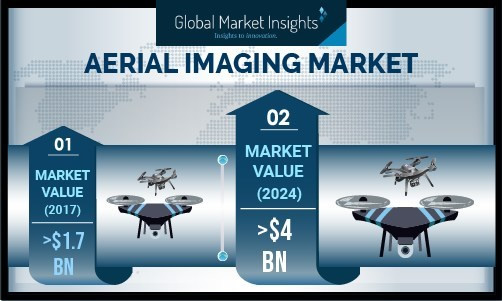
According to the latest report "Aerial Imaging Market by Platform (Fixed-wing Aircraft, Helicopter, UAV/drone), Imaging Type (Vertical, Oblique), Application (Geospatial Mapping, Disaster Management, Energy & Resource Management, Surveillance & Monitoring, Urban Planning, Conservation & Research), End-Use (Government, Energy, Military & Defense, Agriculture & Forestry, Archaeology & Civil Engineering, Oil & Gas), Regional Outlook, Competitive Market Share & Forecast 2024", by Global Market Insights, Inc., the market valuation of aerial imaging will cross $4 billion by 2024.
With an anticipated share of 42% by 2024, North America is at the forefront of the aerial imaging market. The region outlays significant amounts on its defense sector, along with various other verticals. UAVs are gaining prominence in the agriculture sector in the US, which is likely to fuel market trends. Moreover, the market is receiving investments from technology giants such as Google, which along with the support of federal agencies such as the Federal Aviation Administration (FAA) is likely to catapult the market on an upward trajectory.
The oblique imaging segment is anticipated to experience over 15% growth till 2024 driven by demand from various end-use sectors on account of growing visibility of oblique imaging as an aerial imaging modality. Oblique imaging can efficiently determine feature elevations and cover a larger ground area from the same altitude and focal length, as compared to vertical imaging.
By the year 2024, the UAV segment is estimated to account for a majority aerial imaging market share of approximately 78% owing to its rising use for aerial photography applications in government, education, agriculture, construction, and defense sectors. As drones are a better option for capturing events in urban areas, the government agencies are implementing this resource for crime investigation and regulation enforcement purposes.
The military & defense segment is projected to dominate the aerial imaging market with a CAGR of more than 15% during the forecast period due to an increase in the use of aerial photography for applications such as simulation & planning of different mission strategies and air defense mapping & planning. The agriculture sector is expected to grow faster due to developments in technology for precision agriculture practices through mapping of various factors such as crop & soil health, quality, and moisture content. Some of its major applications include irrigation & pesticide application scheduling, seasonal analysis, and evaluation of fertilizer.
Some of the aerial imaging market vendors are Eagle View Technologies, Google, Digital Aerial Solutions, DJI, Kucera International, PrecisionHawk, Nearmap, Cooper Aerial Surveys, Getmapping, 3D Robotics, DroneDeploy, Airobotics, and GeoVantage. The market players focus on developing advanced features using modern tools of analytics and image processing. The market leaders are observed to follow a partnership strategy for improving product features.
Comments (0)
This post does not have any comments. Be the first to leave a comment below.
Featured Product