Drones offer some promising solutions to some of our perennial public challenges. We’ll take a look at a few key areas in which they’re already starting to make a difference across various community issues.
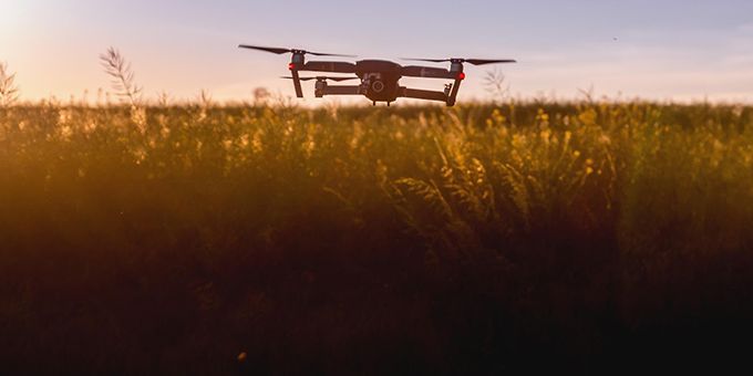 Public Benefits of Drone Technology
Article from | Jori Hamilton
Drones have become a familiar aspect of our contemporary world. Over the past decade, they’ve graduated from expensive toys of the rich to affordable items that many of us have the opportunity to experience. They are used in photography and deliveries, and have even become the subject of their own racing events. But drones also have a vital part to play in the public sector.
This isn’t necessarily limited to their military applications, either. Governments and public services — local and national — have begun to explore ways in which drone tech can make a real difference in our lives. Public leaders are embracing the benefits of these small aerial devices beyond the limited applications most of us are familiar with.
Drones offer some promising solutions to some of our perennial public challenges. We’ll take a look at a few key areas in which they’re already starting to make a difference across various community issues. How are they being used, and what innovations do they offer?
Safer Roads
Without efficient and safe roadways, many of our industries, and indeed our lives, would suffer. If the trucking industry is believed to reflect the health of our economy, this means our roads become the arteries maintaining its nourishment. Public sector fleets have begun to find ways to use technology in vehicles in order to improve safety. This includes the use of telematics in school buses, using data analytics for accident prevention and to monitor driver behavior. But governments are also looking above and beyond the vehicle itself to improve roads.
As most accidents are due to human error and driver activities, more government agencies are utilizing drones to monitor drivers in real-time. Last year, during its Vision Zero week that was intended to bring awareness to traffic safety, the UK’s Metropolitan Police Service used an unmanned aerial vehicle (UAV) to identify drivers engaging in unsafe behaviors and relay this information to roadside officers to respond quickly and effectively. But drone use for road safety goes further than simple surveillance; they are making the driving surface itself safer.
In previous years, getting an accurate assessment of the condition of roads, and the dangers any faults could present, required costly, time-consuming manual surveyance. Recently, Microsoft teamed up with holding company Sund & Bælt to produce a solution that used drones to quickly and thoroughly map the condition of the Belt bridge in Denmark. The drone flew around the structure, capturing road surface and structural images, which were then uploaded to the cloud. The data was then analyzed by bespoke artificial intelligence (AI) software to identify cracks and potential problem areas, with repair priorities then provided to teams of engineers. As drone and AI technology continue development, road surveys by UAVs could become a familiar feature.
Emergency Preparedness and Response
As we continue to face the potential dangers associated with the irreversible effects of climate change, we can also expect more natural disasters. Recovery from disaster is often dependent upon emergency services’ ability to respond quickly and effectively. This means that there is a constant need to develop new tools that can be used to assist efforts — drones have emerged as one of these tools.
In the aftermath of a disaster, there is still a significant level of danger presented by unstable structures and damaged utilities; this means that maintaining the safety of rescue workers is often difficult. The size and maneuverability of UAVs, coupled with high definition cameras, means drones are now being used on the front line of disasters. Drones are capturing images for damage assessment, which than then be used to make 3D maps that allow responders to make safe, effective decisions. They’re even being used to deliver blood, vaccines, and other emergency health supplies to medical personnel in hard to reach places.
Public safety officials have also begun to utilize drones in various ways to prevent wildfires or minimize their spread. UAVs have already gathered data at times in which conditions have been too smokey for helicopter pilots, allowing emergency services to develop fast, smart responses. They have also been deployed to survey land in California and Oregon, spotting the start of potential wildfires so that they can be addressed early. Sometimes their use is creative and unexpected. In 2019, drones delivered “dragon eggs” in California; these self-igniting devices initiated controlled burns of overgrown areas in order to prevent the potential for larger, more destructive blazes.
Agriculture
In order for any population to thrive, there needs to be a robust agricultural industry. While many public officials are actively engaged in developing smart cities, there are those who have been tasked with making certain our landscapes will be feeding us well into the future. Drones have found a place in helping with this.
The Department of Agriculture in the U.S., in association with teams of farmers, has been experimenting with using drones in the surveying of crops in Colorado. The UAVs have been mounted with infrared cameras, which are able to provide data on soil moisture. This information is then used to calculate how much water crops are consuming, and farmers are provided guidance on strategic irrigation. This is intended not just to provide information to farmers but to also maintain a balance that ensures the Colorado river — which serves an estimated 40 million people — isn’t overused to the point of drought.
Around the world, public agricultural agencies are encouraging farmers to make use of UAVs and the data they can provide. The European Commission’s 2018 Drones in Agriculture report asserted that one of the keys to meeting growing food demand is incorporating Big Data and the IoT in farming. The same resource reported that drones can be used to quickly produce 3D mapping of fields, in order to design more efficient seed-planting patterns. Drones can also use multispectral cameras to produce orthomosaic maps that help farmers monitor the health of their crops on a more frequent basis and level of detail than was previously practical.
Conclusion
Drones are much more than recreational and photographic flying machines. Their ability to maneuver into difficult positions, deliver supplies into remote areas, and gather huge amounts of data is making an impact on how the public sector operates. Between assisting rescue efforts, and supporting agriculture, they have the ability to impact our lives in meaningful ways.
The content & opinions in this article are the author’s and do not necessarily represent the views of RoboticsTomorrow
Comments (0)
This post does not have any comments. Be the first to leave a comment below.
Featured Product